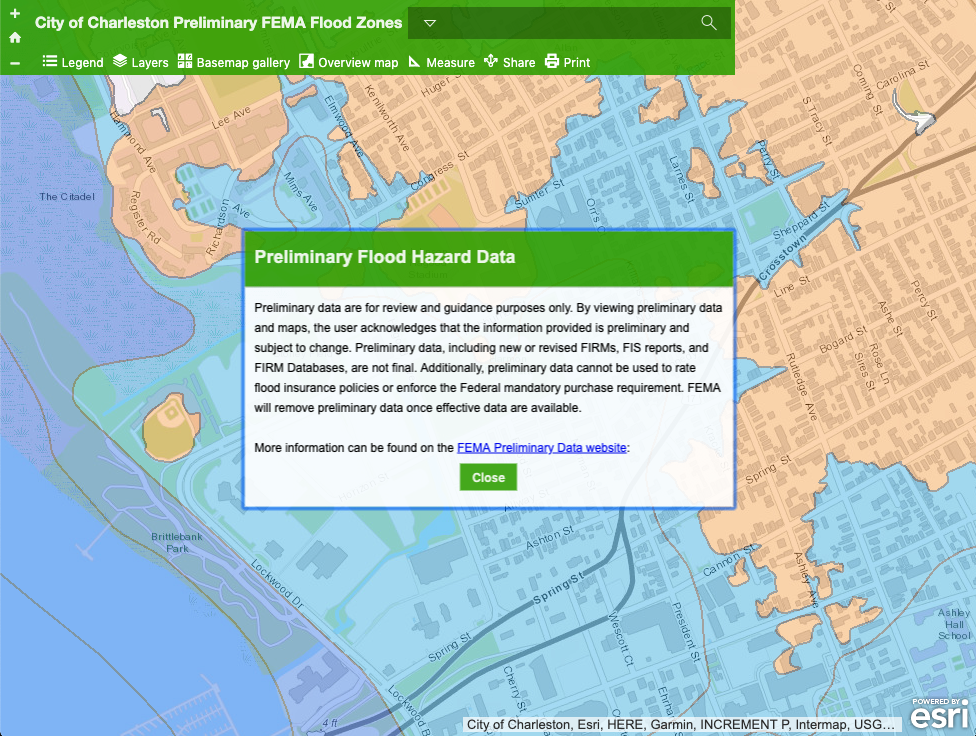
This interactive map displays the Preliminary Flood Hazard Data for Charleston County, SC. “Preliminary data are for review and guidance purposes only. By viewing preliminary data and maps, the user acknowledges that the information provided is preliminary and subject to change. Preliminary data, including new or revised FIRMs, FIS reports, and FIRM Databases, are not final. Additionally, preliminary data cannot be used to rate flood insurance policies or enforce the Federal mandatory purchase requirement. FEMA will remove preliminary data once effective data are available.” -City of Charleston GIS
