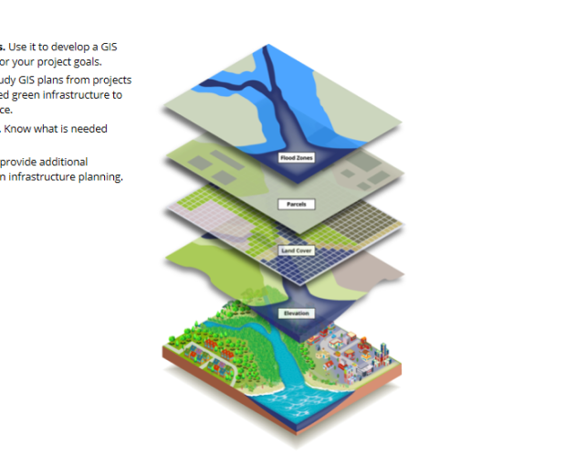
This guide supports spatial analysts mapping green infrastructure for resilience to coastal hazards. The guide helps analysts incorporate green infrastructure strategies into a GIS work plan, and rank and prioritize green infrastructure for their study area. Use the work plan to follow an example project and see how a spatial analyst looks at multiple criteria to generate a final prioritization layer. At each step, track a case study to see how others have approached the work, or access detailed guidance for completing the step. View or download worksheets and templates that will make the job easier. Access related resources or full case study reports. -NOAA
