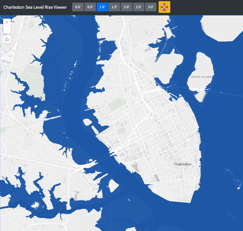
“The purpose of this data viewer is to provide City of Charleston decision-makers with a preliminary look at sea level rise. Data depicting the predicted levels of sea level rise was developed and provided by NOAA Coastal Services Center in Charleston, SC using 2007 and 2009 LiDAR data for Berkeley, Charleston and Dorchester counties. These data depict the potential inundation of coastal areas resulting from a projected 1 to 3 feet rise in sea level (in 0.5 feet increments) above current Mean Higher High Water (MHHW) conditions. The process used to produce the data can be described as a modified bathtub approach that attempts to account for both local/regional tidal variability as well as hydrological connectivity. The process uses two source datasets to derive the final inundation rasters and polygons for each iteration of sea level rise: the Digital Elevation Model (DEM) of the area and a tidal surface model that represents spatial tidal variability. This viewer was developed by City of Charleston GIS staff.” -City of Charleston GIS
