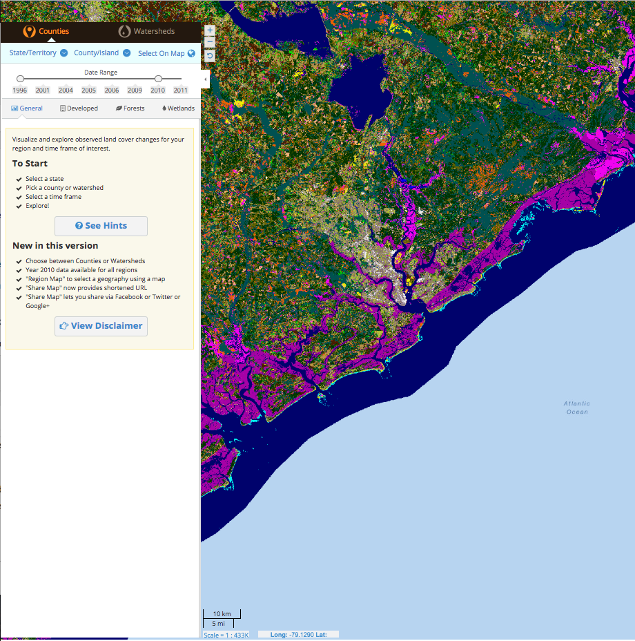
This online data viewer provides user-friendly access to coastal land cover and land cover change information developed through NOAA’s Coastal Change Analysis Program (C-CAP). The tool eliminates the need for a desktop GIS or advanced technical expertise by processing data for the user and providing easy access to the distilled information. The tool summarizes general change trends (such as forest losses or new development) and provides tables, maps, and reports to enhance communication and decision-making.
– NOAA Office for Coastal Management
This tool eliminates the need for desktop GIS and allows the end user (individual, private sector, or government agency) to view the changes in land use, land cover.
Publications: Lake Michigan Basin Land Cover Change Report; Regional Accuracy Assessment Reports; Regional Land Cover Change Reports; Status and Trends of Wetlands in the Coastal Watersheds of the conterminous United States: 2004 to 2009
