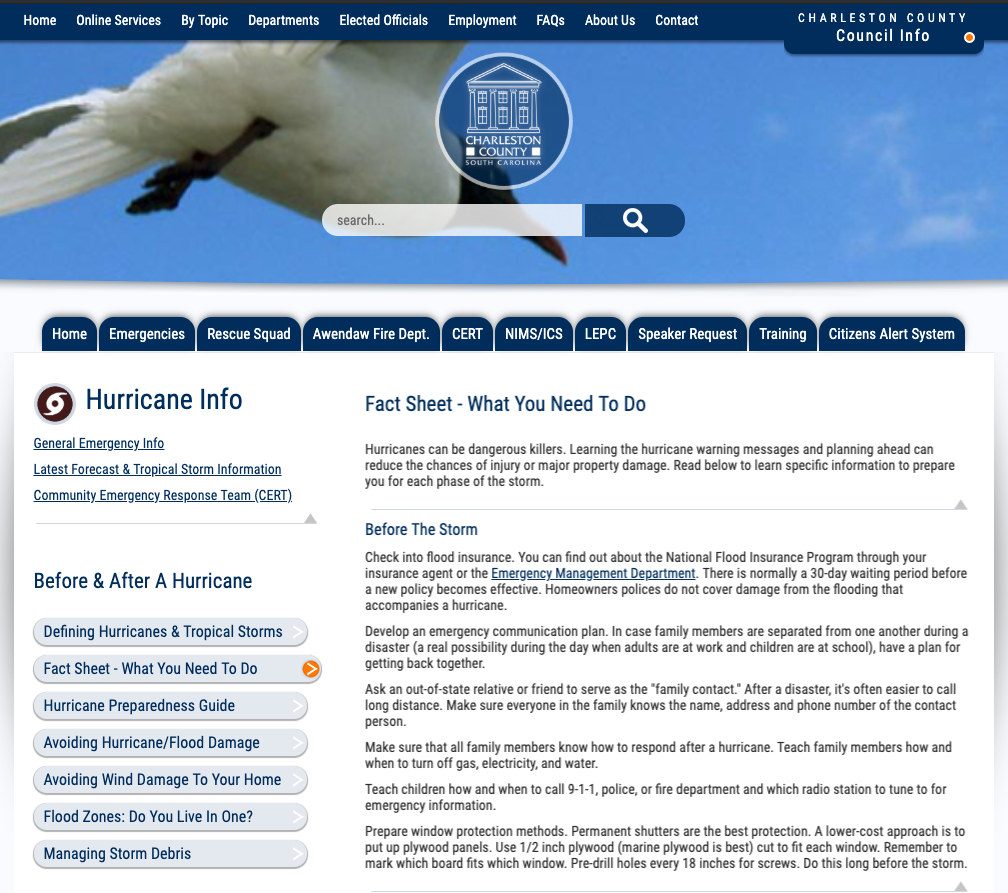
Disclaimer

“All information on the ChucktownFloods application is intended for general information only. All designs, text, graphics, pictures and arrangements on this website are the copyright of the website administrator or those supplying the software. You acknowledge that this site contains content and software that are protected by copyrights, trademarks, or other intellectual property rights. No materials from this site may be copied, reproduced, modified, republished, uploaded, posted, transmitted or distributed in any form by any means without the prior written permission of the website administrator. THE S.C. SEA GRANT CONSORTIUM AND COLLEGE OF CHARLESTON MAKE NO IMPLIED OR EXPRESSED WARRANTY, REPRESENTATION, OR GUARANTEE OF ANY KIND AS TO THE CONTENT, SEQUENCE, ACCURACY, TIMELINESS, RELIABILITY, SUITABILITY OR COMPLETENESS OF ANY INFORMATION PROVIDED HEREIN OR DERIVED FROM THE MAPPING DATA FOR ANY REASON. FURTHER, THE COLLEGE OF CHARLESTON SHALL NOT BE RESPONSIBLE FOR ANY DAMAGES RESULTING FROM ANY DECISIONS MADE BY AN INDIVIDUAL FROM THE INFORMATION OBTAINED ON THIS WEB APPLICATION. THE WEBSITE ADMINISTRATOR EXPLICITLY DISCLAIMS ANY REPRESENTATIONS AND WARRANTIES, INCLUDING, WITHOUT LIMITATION, WARRANTY FOR FITNESS FOR A PARTICULAR PURPOSE AND NON-INFRINGEMENT. ALL RIGHTS NOT EXPRESSLY GRANTED HEREIN ARE RESERVED.

“The user knowingly waives any and all claims for damages against any and all of the entities comprising the S.C. Sea Grant Consortium and College of Charleston that may arise from the mapping data or accessing the web application. The user also accepts the use of cookies on this site to improve user experience.”

Generic filters
Filter by Resources Filters
Select all
Applicability
Coastal
Difficult to Adapt
Easily Adapted
Examples / Case Studies
Inland
Location Specific
Audience
Business
Infrastructure
Local Government
Neighborhoods
Private Sector
Resident
State/Federal Government
Charleston Applicable
Cost
Free
Pay to Use
Event Type
Coastal Erosion
Coastal Storm
Earthquake
High Tide Flooding
Multi-Hazard
Rain Event
Riverine Flooding
Sea Level Rise
Storm Surge
Flood Status
Evacuation
Preparation
Recovery
Focus Area
Infrastructure
Local
National
Regional
State
Input Requirements
Critical Infrastructure
Elevation / Bathymetry
Imagery
Jurisdiction / Boundaries
Land Use / Land Cover
Publicly Available Source
Socioeconomic
Weather / Hazards / Climate
Output Data
Qualitative Output
Exposure Analysis
Hazard Impact Maps
Policy Planning Toolkit
Resilience Framework / Adaptation Plan
Quantitative Output
Land Use / Land Cover Changes
Ranked Vulnerability Index
Vulnerability Assessment
Platform
Desktop
Mobile
PDF
Web
Resource Categories
Business / Economic Impact
Damage Prevention
Flood Recovery
Health / Wellness
Households / Livelihood
Infrastructure / Energy
Natural Environment
Resource
Transportation
Resources Categories
Business / Economic Impact
Damage Prevention
Flood Recovery
Health / Wellness
Households / Livelihood
Infrastructure / Energy
Natural Environment
Resource
Transportation
Spanish Translation
Technical Requirements
Expertise
3rd Party Facilitation
Certified Floodplain Manager
Emergency Management
Engineer
Environmental Professional
GIS Experience
Planner
Process Guidance
Scenario Building
Skills Required
Software Needs
GIS
HAZUS
Statistical
Tool Type
Adaptation Planning
Education / Workbook
Recovery Framework
Reporting
Resilience Measurement
Tool
Tool Kit
Visualization
Vulnerability Analysis
Workbook/Education