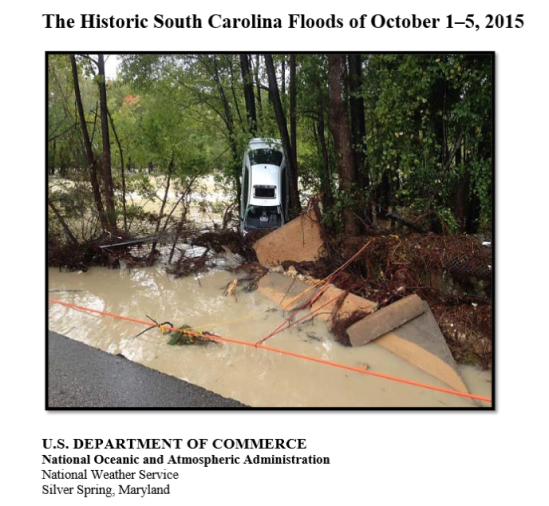
The combination of a surface low-pressure system located along a stationary frontal boundary off the U.S. Southeast coast, a slow moving upper low to the west, and a persistent plume of tropical moisture associated with Hurricane Joaquin resulted in record rainfall over portions of South Carolina, October 1-5, 2015. Some areas experienced more than 20 inches of rainfall over the 5-day period. Many locations recorded rainfall rates of 2 inches per hour. This rainfall occurred over urban areas where runoff rates are high and on grounds already wet from recent rains. Widespread, heavy rainfall caused major flooding in areas from the central part of South Carolina to the coast. The historic rainfall resulted in moderate to major river flooding across South Carolina with at least 20 locations exceeding the established flood stages. Flooding from this event resulted in 19 fatalities. Nine of these fatalities occurred in Richland County, which includes the main urban center of Columbia. South Carolina State Officials said damage losses were $1.492 billion. Because of the significant impacts of the event, the National Weather Service formed a service assessment team to evaluate its performance before and during the record flooding. The National Weather Service Mission Delivery Council will review and consider the findings and recommendations from this assessment. As appropriate, recommendations will then be integrated into the Annual Operating Plan to improve the quality of operational products and services and enhance the National Weather Service’s ability to provide an increase in public education and awareness materials related to flooding. The ultimate goal of this report is to help the National Weather Service meet its mission to protect life and property and enhance the national economy -NWS
